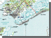
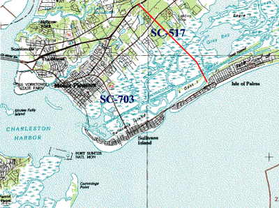
 These are from Microsoft's
TerraServer. These are from Microsoft's
TerraServer.
The images below are Huge and Slow. If you are
in a hurry, click "small" on the TerraServer
window. The topo maps are slower than the photos.
We surf to these maps in the background while we are reading
mail or doing something else.
You can find more types of aerial and topographic maps on
the Map Sources page. You
can find a couple of aerial photos from the Army Corp of
Engineers on the CORP Aerials
page.
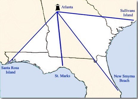
Great
aerial photo of Grayton, Florida and Aerial
of Tybee Island |